Investigating Plastic Detection from Space
Back to updatesAfter almost 3 years of work, The Ocean Cleanup research team has recently submitted its comprehensive results about plastic pollution in the Great Pacific Garbage Patch. More than 1.2 million pieces of plastic have been collected, counted, sorted, characterized and categorized. Terabytes of aerial images and data have been processed.
While we can’t yet disclose our results (the paper is currently under scientific review), we are certain they will have a big impact and bring valuable new knowledge to the scientific community. One could assume the mission of our research team is completed after such extensive research. Not quite.
With operations scheduled to start next year in the Pacific, future research will play an important role in monitoring our cleanup progress, using our results as a necessary baseline. Continued research efforts will also provide engineers with valuable feedback to further improve the technology.
Furthermore, one of the core principles at The Ocean Cleanup is to work iteratively, whether in research or engineering. The more we learn about plastic pollution, the closer we get to solving the issue. Simultaneously, we raise new questions and bring research further. To keep pushing the boundaries of science in this field, the research team is investigating innovative methods to collect more field data.
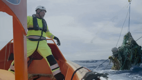
For example, last year during the second survey flight of the Aerial Expedition, the team took advantage of flying at low altitude above the Great Pacific Garbage Patch to airdrop a GPS tracker. Since then, this device drifts in the patch, gathering additional information on marine debris transport.
A year ago, our research team airdropped a GPS tracker in the middle of the Great Pacific Garbage Patch during one of the Aerial Expedition survey flights. The tracker pings its location every 6 hours. The tracker travelled a significant distance but has now almost come back to its original position. This highlights once again the presence and boundaries of the patch, and the persistence of the marine debris trapped in it.
Posted by The Ocean Cleanup on Wednesday, November 8, 2017
SATELLITE IMAGERY – THE NEW FRONTIER
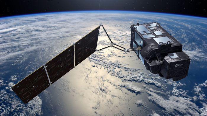
The team is now increasingly looking into airborne and satellite imagery as one of the most promising methods. Building upon knowledge acquired during previous expeditions, our goal is to make remote sensing a reliable, scalable and efficient source of data for marine debris. Therefore, we are partnering with Argans, Airbus and Universidad de Cadiz to conduct a European Space Agency (ESA) sponsored project, aiming at investigating the feasibility of space-borne remote sensing of marine litter.
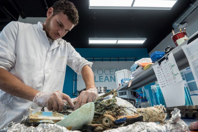
Our contribution consists in producing a comprehensive SWIR (Short Wave Infrared) spectral signature library for oceanic plastics. If proven to be reliable, such database could dramatically improve survey methods anywhere in the ocean, therefore accelerating research on other garbage patches.
Follow us on Facebook, Twitter, and Instagram to keep up to date without progress.
[Header image source: ESA/ATG Medialab]